Honey Island
It was known as “Whale Island” nthe last century,perhaps because of its format.
The appearance of a map that is in the Ministry of Foreign Affairs map library, where the island already appears with the name Ilha do Mel, practically unraveled the mystery about the name.
Another map, by Antônio Vieira dos Santos, published in 1850, also contained Ilha do Mel with that name.
Ilha do Mel, by leasing, was transferred from the Union to the State of Paraná.
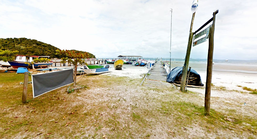
Ilha do Mel beaches


Ilha do Mel is a Brazilian island located at the mouth of the Bay of Paranaguá, in the state of Paraná.
According to the Brazilian Institute of Geography and Statistics (IBGE), its population in 2010 was 1,094 residents.
Ilha do Mel is located in the South Atlantic Ocean and is located 15 miles from the Port of Paranaguá, with its closest point to the mainland 4 km from Pontal do Sul, in the municipality of Pontal do Paraná, on the coast of the state of Paraná , Brazil.
There are 2585 hectares of area composed of protected restinga and Atlantic Forest systems and destined exclusively for the integral preservation of flora and fauna, out of a total of 2762 hectares (35 km of perimeter)
Perfect for you, check it out:
The island, which is part of the municipality of Paranaguá, is administered by the Instituto Ambiental do Paraná (IAP). Animal or motor traction is not allowed on the island. There are many areas where visitors are not allowed.
Ilha do Mel is a tourist spot of great importance in thestate of Parana.Many people consider the island to have the best beaches in the state.
The crossing to Ilha do Mel is done by boats that leave from Pontal do Sul or Paranaguá.
There are regular services daily between 8:00 am and 5:00 pm, but boats can also be chartered at other times.
During season, boats depart every 30 minutes, and out of season every full hour.